
Parks & Nature
An artificial reservoir preserving ancient Roman roads
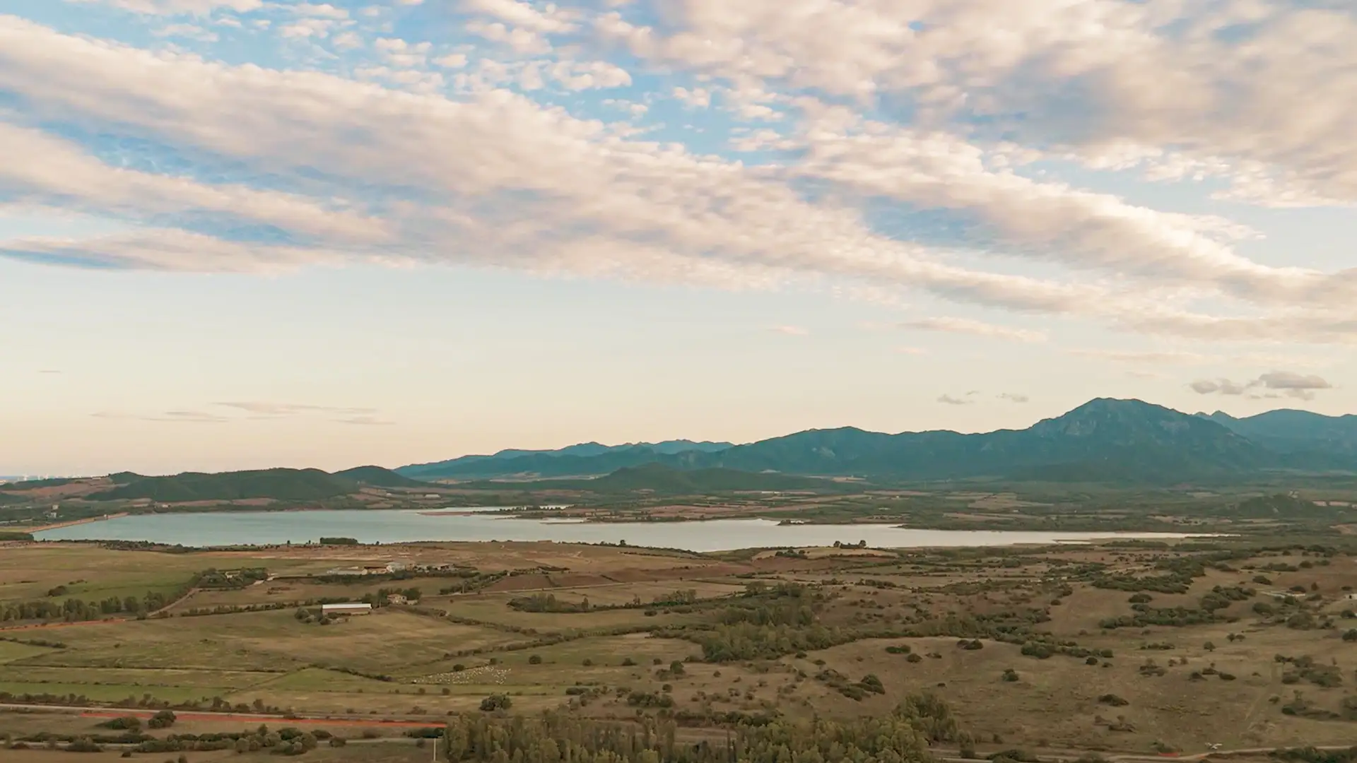
In the heart of the lower Cixerri valley, between the territories of Uta, Villaspeciosa, and Decimomannu, stretches a body of water covering more than 5 square kilometres: Lake Cixerri.
This large artificial reservoir, created by the construction of the Genna Is Abis dam, preserves remarkable evidence of Roman presence in this area.
From river to dam: controlling the waters
The territory of Uta and the surrounding municipalities has always been closely linked to the Rio Cixerri, a tributary of the Flumini Mannu, also known as Riu Mannu, which flows into the Santa Gilla lagoon in Cagliari. On the one hand, this watercourse has helped shape the landscape and make the soils rich and fertile, creating the conditions for flourishing agriculture. On the other, it long represented a serious threat because of frequent floods during the rainiest periods.
The earliest water regulation works date back to ancient times, but the most significant intervention came in the 20th century with the construction of the Genna Is Abis dam, better known as the Cixerri dam. Completed in 1992 and definitively tested in 2002, the main dam extends for 1,300 metres in length and reaches 26 metres in height. It is perhaps the work that has most strongly shaped the landscape of the lower Cixerri valley.
Con una capacità di 25-32 milioni di metri cubi d’acqua, il lago garantisce oggi i fabbisogni idrici dell’intero territorio circostante, rappresentando un sostegno vitale per le attività agricole durante i periodi di siccità.
The Roman roads that emerged from the water
In 2016, Lake Cixerri returned to national attention thanks to an extraordinary discovery. During a dry period, two ancient Roman roads emerged, perfectly preserved beneath the waters of the reservoir.
The first, already identified in 2011, is the famous a Karalis Sulcos, the ancient Roman road that connected Cagliari with the rich mines of Iglesias and the legendary city of Metalla. The second, discovered in 2016, appears to head toward Uta and Assemini, although its function is still being studied.
Queste testimonianze confermano l’importanza strategica di questi territori già in epoca romana, quando la zona era abitata da una comunità ben organizzata e rappresentava un crocevia fondamentale per il commercio dei metalli preziosi estratti dalle miniere dell’Iglesiente.
A landscape of water and nature
Oggi il lago Cixerri offre un paesaggio suggestivo, dove lo specchio d’acqua si integra armoniosamente con le colline circostanti. La sponda nord, in territorio di Villaspeciosa, è la più accessibile e permette di godere di una vista panoramica sul bacino e sulla valle.
The reservoir, managed by ENAS, the Sardinian Water Authority, is also a destination for sport fishing enthusiasts, who find ideal conditions here for different techniques, from competitive fishing to carp fishing.
Visitor information
Location: Between the municipalities of Uta, Villaspeciosa, and Decimomannu.
Opening hours: Freely accessible from the northern shore, in the territory of Villaspeciosa.
The dam can occasionally be visited during the Monumenti Aperti event.
Recommended period: Spring and autumn, when the landscape is at its best.
Is something wrong with this point of interest? Send us a report.